3D modeling technology is transforming our perspective, converting concepts into tangible digital forms.

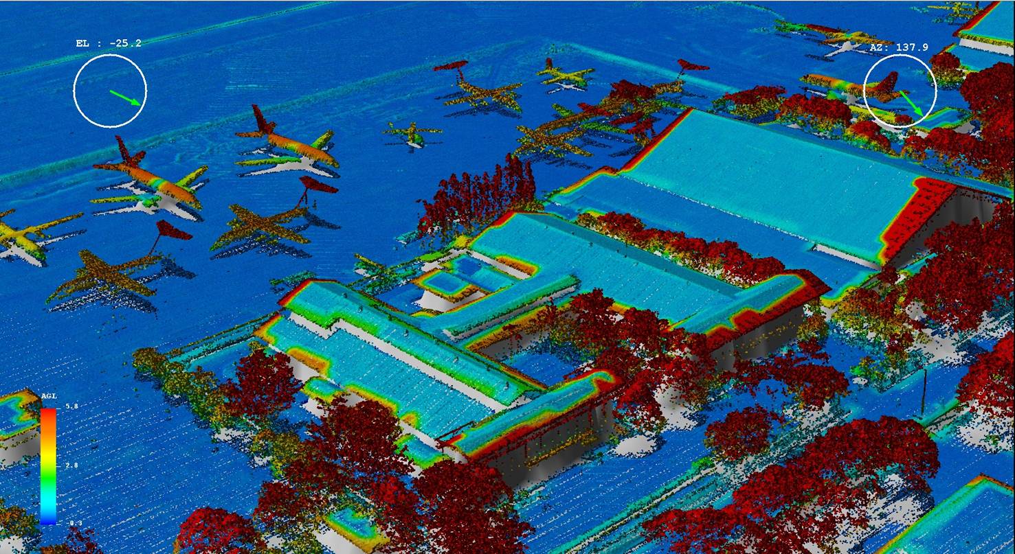
Airport Navigation Planning
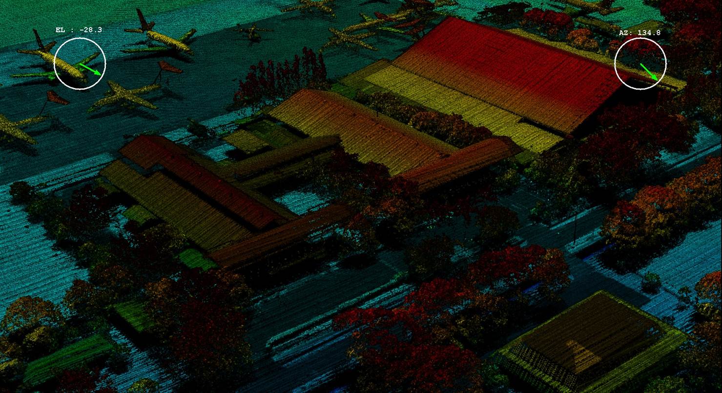
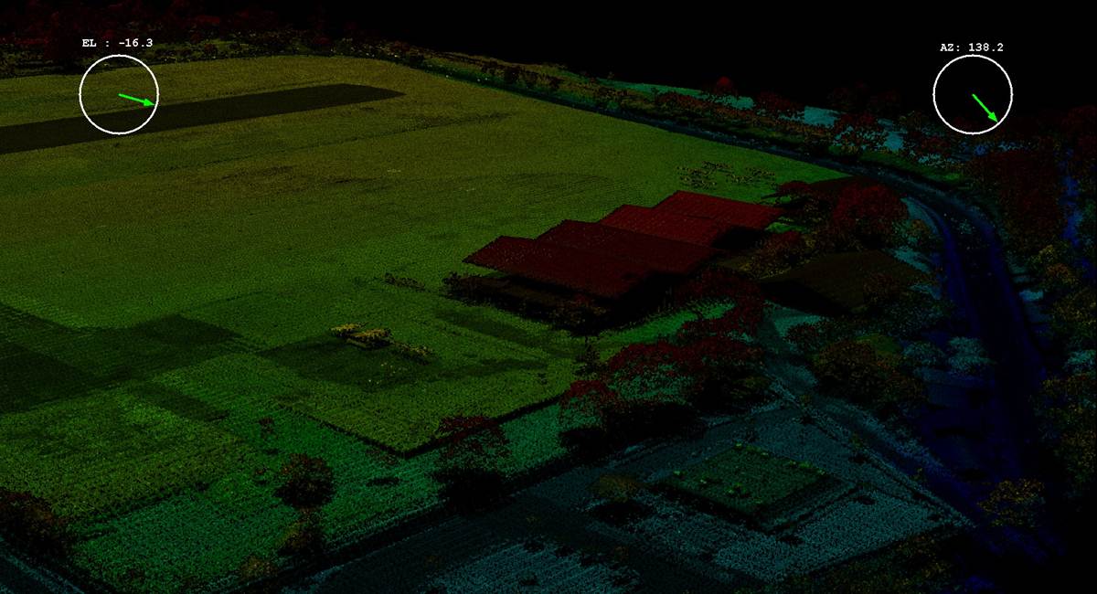
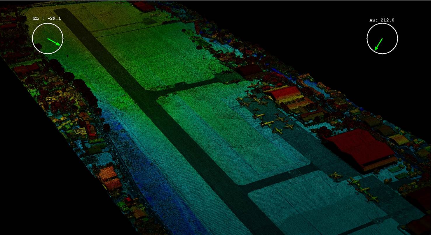
LIDAR, with just a few clicks, unveils the intricate details of an airport’s landscape. From pinpointing tree positions and their towering heights to mapping out building shapes, it’s an invaluable tool for both planning and maintenance tasks.
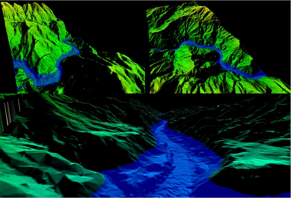
Irrigation Canal Structure Analysis
LIDAR, the digital sculptor, molds a precise Digital Elevation Model (DEM) that breathes life into canal structures for hydraulic simulations and irrigation network designs. With high-resolution aerial photos as its canvas, it paints a detailed cross-sectional view, enabling a comprehensive analysis of irrigation canals.
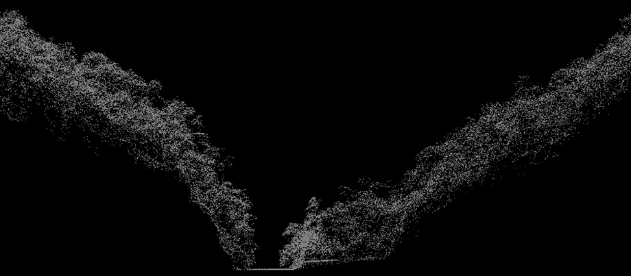
Electrical Transmission Line Analysis
LIDAR, a 3D lens to the world, captures land contours, plant conditions, and building structures along transmission lines. It precisely measures tower positions, pole placements, and the sag of conducting cables.
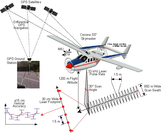
LIDAR Aerial Mapping